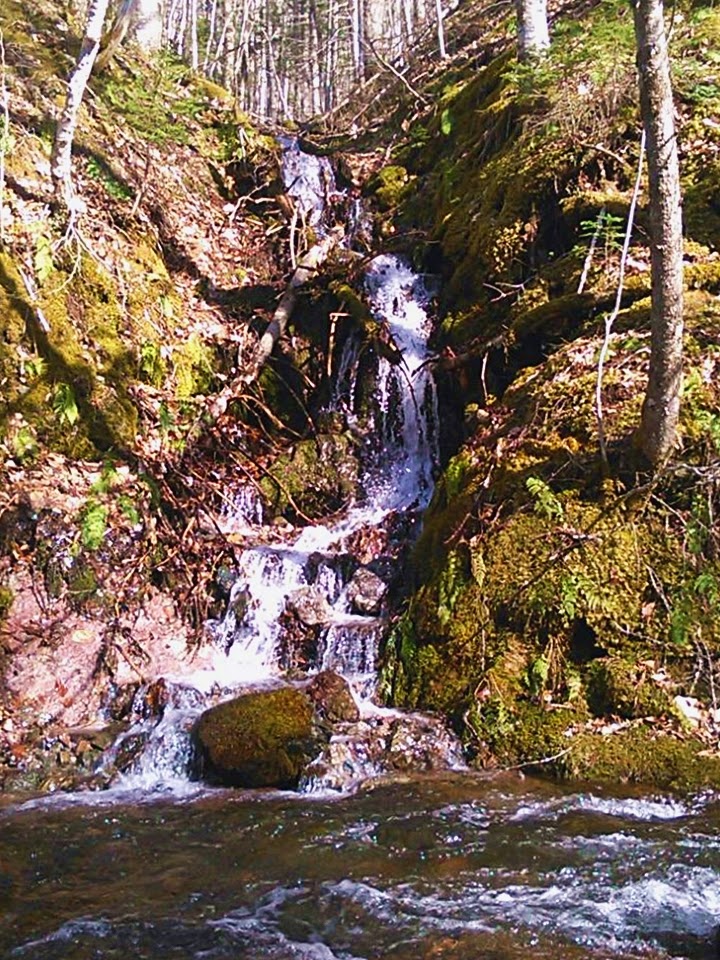
KEWSTOKE BROOK FALLS
Kewstoke, Inverness County
45° N 58.285 061° W 14.472
UTM: 20T E 636245 N 5092926
RIVER: Kewstoke Brook
WATERSHED: Indian River->Skye River
CLASS: tiered plunge
SIZE: 20'
RATING: average (***)
TRAIL: roadside
DISTANCE: 25m
HIKING TIME: 2 minutes
CONDITIONS: moderate
GEOCACHE: none
NS Atlas Page:
NS topo map: 011F14 (Whycocomagh)
DRIVING DIRECTIONS: from the Canso Causeway in Port Hastings, proceed to the roundabout and take HWY19 (the Ceilidh Trail) northwest for 32.1km, then turn right onto Rear Intervale Road, just past the vilage of Judique. Follow this dirt road for 9.8km, and turn right on Glencoe Road. Continue 7.0km along this road thru Glencoe Valley and turn right onto Whycocomagh-Port Hood Road. Follow this road 7.0km to a sharp left hand turn at the bottom of a long hill. The falls are visible dropping off the ridge above into Kewstoke Brook just upstream from the bridge.


No comments:
Post a Comment